This workshop explores the role of visualization in data science workflows that use satellite imagery. We’ll get hands-on experience with how visualization can support,
- Data validation and cleaning
- Model inspection and error analysis.
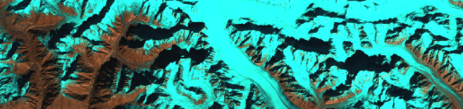
We’ll walk through a toy version of a glacier mapping problem. Using freely available Landsat imagery, we’ll train a model to recognize different types of glaciers. You are encouraged to bring problems of your own for group discussion.
Prerequisites
- Basic familiarity with R
- You should be able to enter the binder notebooks linked here
Schedule
This workshop will be held on February 17, 2021.
| Time | Format | Topic |
|---|---|---|
| 2:45 - 3:00pm | Lecture | Visualization and maps |
| 3:00 - 3:35pm | Interactive Coding | Data exploration and preprocessing |
| 3:35 - 3:50pm | Breakout Session | Discussion |
| 3:50 - 4:25 | Interactive Coding | Model training and inspection |
| 4:25 - 4:45pm | Debrief | Open Discussion |
Resources
- Introduction to Data Science: Chapter 7
- R for Data Science: Chapter 12
- Geographic Data in R: Chapter 2
- Spatial Data Science with R
- Towards better analysis of machine learning models: A visual analytics perspective
Contact
Do you have any questions about the workshop? Don’t hesitate to reach out to ksankaran@wisc.edu.